n o r w a y
 Oslo
Oslo
 Vår Frelsers gravlund - Oslo
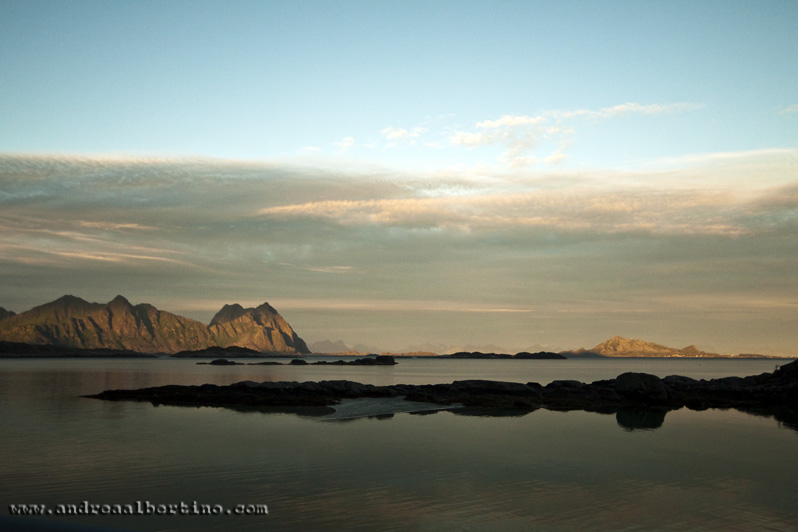 Vestpollen
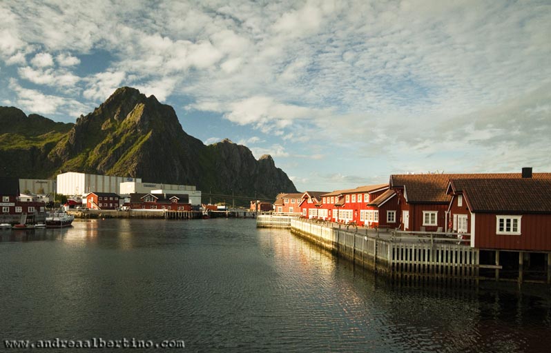 Svolvær
 Svolvær
 Svolvær
 Svolvær
 White beaches, Lofoten
 White beaches, Lofoten
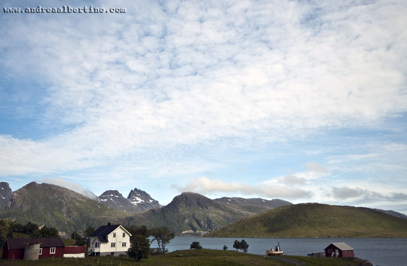 Flakstadøya
 Flakstadøya
 Flakstadøya
 Å i Lofoten
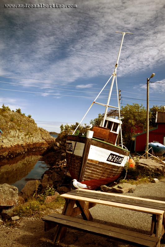 Å i Lofoten
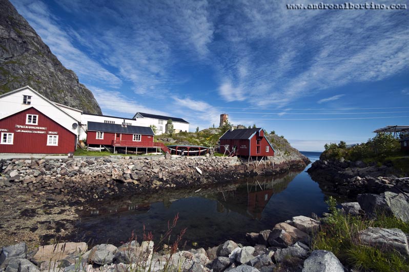 Å i Lofoten
 Midnight sun
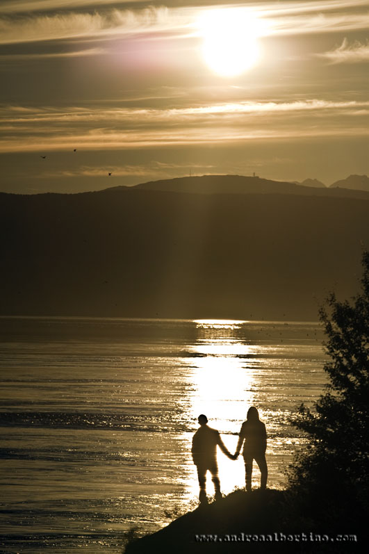 Midnight sun
 Midnight sun
 Sunset in Trondheim
 Kilboghamn-Jektvik/Rv17
 Trollstigen
 Sunset in Trondheim
 Trollstigen
 Geiranger
 Geiranger
 Walking in Oslo
 Myrdal station
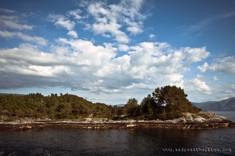 Sognefjorden
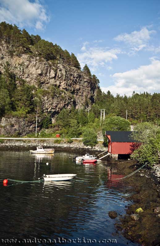 Sognefjorden
 Bergen, View from Fløyen mountain
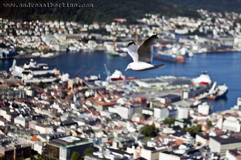 Seagull over Bergen
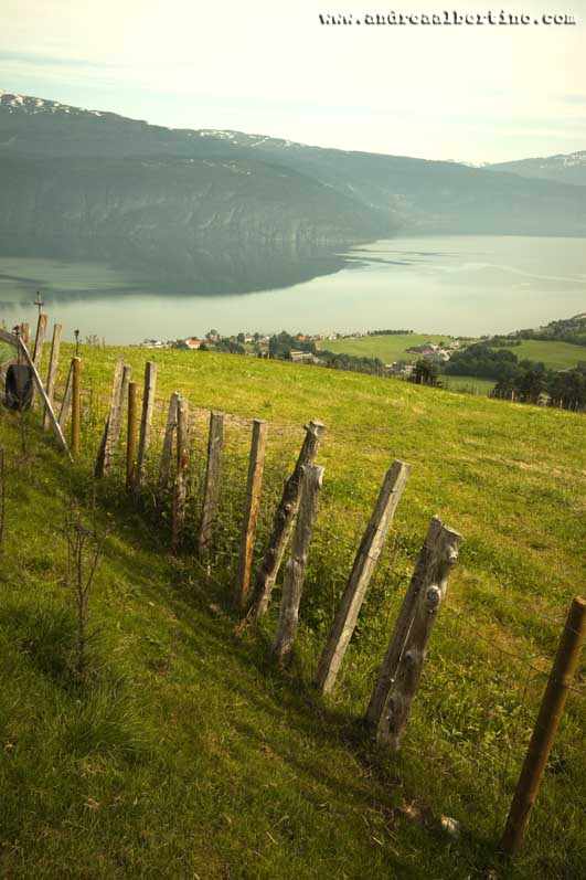 Nordfjord
 Geiranger
 Nordfjord
The Lofoten islands are draped across the turbulent waters of the Norwegian Sea, far above the Arctic Circle. This rare wilderness outpost offers an untrammelled landscape of majestic mountains, deep fjords, squawking seabird colonies and long, surf-swept beaches. If you are seeking unforgettable nature experiences, Lofoten will definitely not let you down. Due to the area’s diverse landscape, you can go hiking, skiing, fishing, ocean rafting or scuba diving. Lofoten is also one of Norway's best sites for surfing, and one of the world's northernmost. Lofoten has a strong connection to the Viking Age, and at Lofotr Viking Museum you can experience the Viking Age as it really was. At Borg, archaeologists have discovered the largest Viking longhouse ever found from this era. The building is 83 metres long and has been reconstructed as a living museum. Due to the warm Gulf Stream, Lofoten has a much milder climate than other parts of the world at the same latitude. Between late May and mid July you can experience the midnight sun, whilst the northern lights can be viewed from September to mid April. Fishing has been, and still is, to a degree, the reason why people have lived here and the region is known for its many small fishing villages. Here, you can stay in a Rorbu - an old fishermen’s cabins - and eat stockfish, made from spawning cod. The stockfish is often the base product in many of the food dishes served in local restaurants. The rapidly changing weather and magnificent light conditions have inspired artists and drawn them to this area for several decades, which is evident in the many art galleries and photo exhibitions. Saltstraumen has one of the strongest tidal current in the world.[2] Up to 400,000,000 cubic metres (520,000,000 cu yd) of seawater forces its way through a 3-kilometre (1.9 mi) long and 150-metre (490 ft) wide strait every six hours, with water speeds reaching 22 knots (41 km/h; 25 mph). Vortices known as whirlpools or maelstroms up to 10 metres (33 ft) in diameter and 5 metres (16 ft) in depth are formed when the current is at its strongest. Saltstraumen has existed for about two to three thousand years. Before that, the area was different due to post-glacial rebound. The current is created when the tide tries to fill the Skjerstadfjorden. The height difference between the sea level and the fjord inside can be up to 1 metre (3 ft 3 in). When the current turns, there is a period when the strait is navigable. Trondheim (Norwegian pronunciation: [ˈtrɔnhæɪm]), historically Kaupangen, Nidaros and Trondhjem, is a city and municipality in Sør-Trøndelag county, Norway. It has a population of 187,353 (January 1, 2016), and is the third most populous municipality in Norway, although the fourth largest urban area. It is the third largest city in the country, with a population (2013) of 169,972 inhabitants within the city borders.[2] The city functions as the administrative centre of Sør-Trøndelag county. Trondheim lies on the south shore of the Trondheimsfjord at the mouth of the river Nidelva. The city is dominated by the Norwegian University of Science and Technology (NTNU), the Foundation for Scientific and Industrial Research (SINTEF), St. Olavs University Hospital and other technology-oriented institutions. The settlement was founded in 997 as a trading post, and it served as the capital of Norway during the Viking Age until 1217. From 1152 to 1537, the city was the seat of the Catholic Archdiocese of Nidaros; since then, it has remained the seat of the Lutheran Diocese of Nidaros and the Nidaros Cathedral. It was incorporated in 1838. The current municipality dates from 1964, when Trondheim merged with Byneset, Leinstrand, Strinda and Tiller. The Geiranger Fjord[1][2][3] (Norwegian: Geirangerfjorden) is a fjord in the Sunnmøre region of Møre og Romsdal county, Norway. It is located entirely in the Stranda Municipality. It is a 15-kilometre (9.3 mi) long branch off of the Sunnylvsfjorden, which is a branch off of the Storfjorden (Great Fjord). The small village of Geiranger is located at the end of the fjord where the Geirangelva river empties into it. The fjord is one of Norway's most visited tourist sites. In 2005, it was listed as a UNESCO World Heritage Site, jointly with the Nærøyfjorden, although this status is now threatened by the disputed plans to build power lines across the fjord.[4] A car ferry, which doubles as a sightseeing trip, is operated by Fjord1 Nordvestlandske. It runs lengthwise along the fjord between the small towns of Geiranger and Hellesylt. Along the fjord's sides there lie a number of now-abandoned farms. Some restoration has been made by the Storfjordens venner association. The most commonly visited among these are Skageflå, Knivsflå, and Blomberg. Skageflå may also be reached on foot from Geiranger, while the others require a boat excursion. The fjord is also host to several impressive waterfalls such as Seven Sisters Falls. Magdalene Thoresen, Henrik Ibsen's mother-in-law, said of the area: This fjord is surrounded by some of the steepest mountains on the entire west coast. It is very narrow and has no habitable shore area, for the precipitous heights rise in sheer and rugged strata almost straight out of the water. Foaming waterfalls plunge into the fjord from jagged peaks. There are, however, a few mountain farms here, and of these one or two have such hazardous access, by paths that wind around steep precipices, and by bridges that are fixed to the mountain with iron bolts and rings, that they bear witness in a most striking way to the remarkable powers of invention which the challenges of nature have developed in man. Bergen (Norwegian pronunciation: [ˈbærɡən] ( listen)) is a city and municipality in Hordaland on the west coast of Norway. At the end of the first quarter of 2016, the municipality's population was 278,121,[1] and the urban population was 250,420 as of 1 January 2015,[2] making Bergen the second-largest city in Norway. The municipality covers an area of 465 square kilometres (180 sq mi) and is located on the peninsula of Bergenshalvøyen. The city centre and northern neighbourhoods are located on Byfjorden, "the city fjord", and the city is surrounded by mountains; Bergen is known as the city of seven mountains. Many of the extra-municipal suburbs are located on islands. Bergen is the administrative centre of Hordaland and consists of eight boroughs—Arna, Bergenhus, Fana, Fyllingsdalen, Laksevåg, Ytrebygda, Årstad and Åsane. Trading in Bergen may have started as early as the 1020s. According to tradition, the city was founded in 1070 by king Olav Kyrre; its name was Bjørgvin, "the green meadow among the mountains". It served as Norway's capital in the 13th century, and from the end of the 13th century became a bureau city of the Hanseatic League. Until 1789, Bergen enjoyed exclusive rights to mediate trade between Northern Norway and abroad and it was the largest city in Norway until the 1830s when it was surpassed by the capital, Oslo. What remains of the quays, Bryggen, is a World Heritage Site. The city was hit by numerous fires over the years. The "Bergen School of Meteorology" was developed at the Geophysical Institute beginning in 1917, the Norwegian School of Economics was founded in 1936, and the University of Bergen in 1946. From 1831 to 1972, Bergen was its own county. In 1972 the municipality absorbed four surrounding municipalities, and at the same time became a part of Hordaland county. The city is an international centre for aquaculture, shipping, offshore petroleum industry and subsea technology, and a national centre for higher education, tourism and finance. Bergen Port is Norway's busiest in both freight and passengers with over 300 cruise ship calls a year bringing nearly a half a million passengers to Bergen,[3] a number that has doubled in ten years.[4] Almost half of the passengers are German or British.[4] The city's main football team is SK Brann and the city's unique tradition is the buekorps. Natives speak the distinct Bergensk dialect. The city features Bergen Airport, Flesland, Bergen Light Rail, and is the terminus of the Bergen Line. Four large bridges connect Bergen to its suburban municipalities. Bergen is well known for having the mildest winter climate, though with a lot of precipitation, of all cities in the Nordic countries.[5] In December - March, the temperature difference between Bergen and Oslo can be up to 30 degrees celsius, despite the fact that both cities are located at approximately 60 degrees North. The Gulf Stream keeps the sea relatively warm, considering the latitude, and the mountains protect the city from cold winds from the north, north-east and east. Flamsbana - The Flam Railway, is one of the steepest trainlines in the world on normal tracks, where almost 80% of the journey has a gradient of 5.5% The train journey runs through fantastic nature, past the Rallar road, steep mountains, breathtaking waterfalls, through 20 tunnels and offers so many viewpoints that many feel like travelling multiple times between the mountain and the fjord. In the span of a single hour, the train takes you from the ocean level at the Sognefjord in Flam, to the mountaintop at Myrdal mountain station on Hardangervidda, 867 meters over the ocean. Myrdal is also a station on the Bergen railway, which means that Flamsbana corresponds with the trains on the Oslo - Bergen line. For more information and booking about connecting trains from Myrdal, please visit NSB website www.nsb.no National Geographic Traveler Magazine has named the Flam Railway as one of the top 10 train journeys in Europe and Lonely Planet named it the best train journey in the world in 2014.
Info